
Neighbourhood Studies
No. 1 - Fulflood
2 Defined Limits of Study
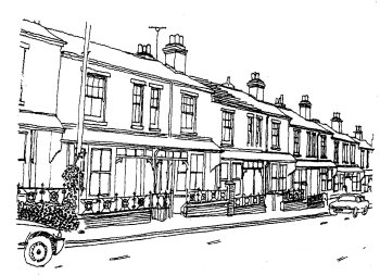
Brassey Road East Side
This is a difficult area to define. It could be said to centre on the Stockbridge Road, where there are still a few shops. This also centres the area on the valley; the surrounding heights to the north, south and west form the limits. Although of different character, the south side of Bereweeke Road has been included on account of the tree belt, which is such an important feature of the area. The railway forms a clear east limit. The following descriptive limits are used for the present study: south to include Greenhill Road to Greenhill Terrace, North View, part of Clifton Road and St Paul's Church; west to include Cheriton Road, Fordington Avenue and the Westgate School; north to include the south side of Bereweeke Road and east to the Andover Road and the railway.