
Winchester and its Setting
Eastern Setting
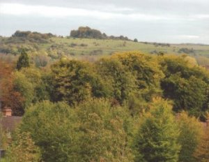
St Giles Hill/Highcliffe/Bar End
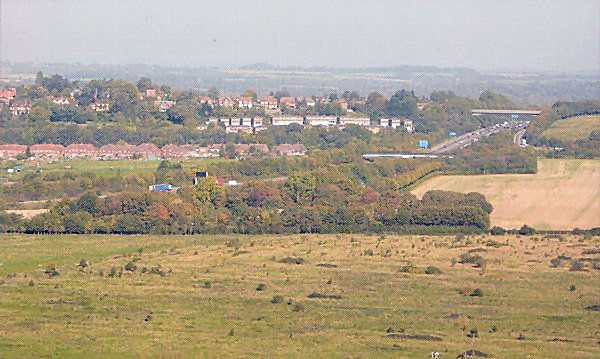
View of Highcliffe vand M3 from Morestead Road
The eastern boundary is again defined by the M3, with the National Park beyond. St Giles Hill with its tree-cover provides an important landscape feature in views within the City, particularly as an eastern backdrop to views from the southern river valley. The setting to Highcliffe and Bar End is a mixed use land pattern. To the south of the Highcliffe housing area, exposed on a flat plain, are valued playing fields and the athletics stadium, together with allotments and some grazing land. To the west are industrial premises and the park and ride site which are less visible in the setting being screened by the landform and trees.
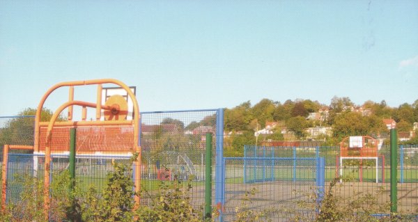
Skate park and Highcliffe
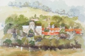
View of Meads across to Winchester College
Click to enlarge
College/St Cross/River valley south
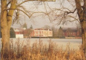
View of Meads across to Winchester College
St Catherine's Hill
St Cross Church and Hospital
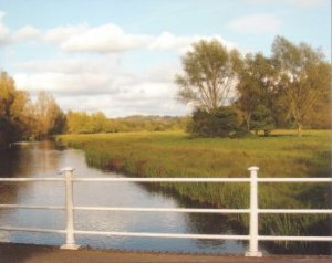
River Itchen looking north, Five Bridges Road
The southern water meadows between the city centre and St Cross are bounded by Winchester College and the Conservation Area to the west and St Catherines Hill and the National Park to the east. The river valley is an SSSI. These designations, reflect the high quality and value of this landscape which provides an outstanding setting for the City.
Whiteshute Ridge, Bushfield Down and Camp
This ridge, most of which is designated as a SINC, provides an important backdrop on three sides and has a sensitive relationship with the City, the river valley and the National Park. To the west, the high open land of Whiteshute Ridge provides an attractive and valued backdrop to Badger Farm and offers long views of the city and the countryside to the north.
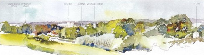
The north facing slope of Bushfield Down has an extensive panoramic view of the City (marred only by overhead powerlines) encompassing the Cathedral, the College Chapel, St Cross and St Catherines Hill. In turn the Down, including the site of the long abandoned army camp, provides a centuries old view over St Cross Hospital from the National Park. Kim Wilkie has referred to this downland as the key to the setting of Winchester.
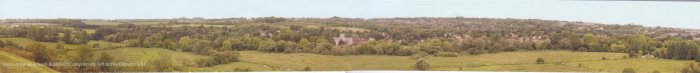
Panorama View from Bushfield Camp on the left to the City on right