
Winchester and its Setting
Western Setting
Kilham Lane/ Pitt Manor
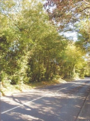
The defined built-up area of the City finishes on the north east side of Kilham Lane. On the other side the only buildings are Pitt Manor (a Registered Historic Park and Garden) and Pitt Manor Cottage, where the mixed parkland and farmland has been designated as a Local Reserve Site for housing. This has been the subject of an outline planning application for 200 dwellings and a park and ride car park, which is currently going through the appeal process. This development would maintain the green edge of Kilham Lane and abutting Pitt Manor Site of Importance for Nature Conservation (SINC), but, on a gentle south-westward slope, it would be visible from the bridleway which skirts the boundary, and from distant viewpoints such as the village of Pitt and the South Winchester Golf Course, particularly when the perimeter tree belts are not in leaf. It would also have a detrimental effect on the green corridor approach to Winchester along the Romsey Road, from where glimpses of the field can be seen through the narrow belt of trees. The proposed vehicular access to the housing and the car park, a bus lay-by and intrusive public car park lighting would effectively destroy this part of the distinctive approach to Winchester that Romsey Road provides.
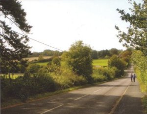
Pitt Manor Site, Romsey Road boundary
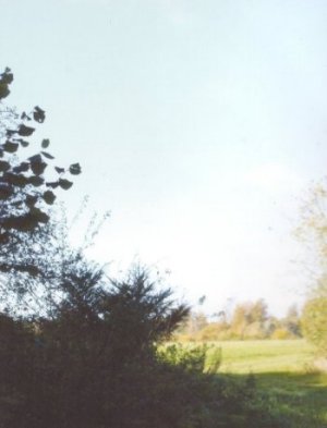
View of Pitt Manor site from Pitt
Teg Down
This is a large area of undulating calcareous grassland that falls away from the ridge of trees along Chilbolton Avenue that forms part of the tree lined horizon around the centre of the City. The area is a SINC and is used by the Royal Winchester Golf Course.
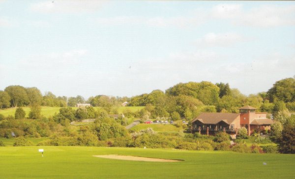
Royal Winchester Golf Course
Salters Lane/Lanham Lane
These two lanes have a totally rural edge with views of the countryside extending towards Sparsholt and beyond. The Sparsholt Woodlands Landscape is one of undulating well drained chalkland that provides the north west setting for Winchester. Recent development, some of quite high density for an edge of City location, has taken place in both lanes.
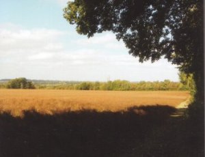
Farmland from Salters Lane
Kennel Lane looking towards Littleton
Harestock/Littleton
Pre 1945 development took place on the south east side of Harestock Road. Post 1945 development in Harestock has now extended the built up area of Winchester up to the east side of Harestock Road. On the north west side on Crown Land is the Sir John Moore Barracks, surrounded by woodland so that this recent development is barely visible. Between Kennel Lane and Stockbridge Road is the Local Gap between Winchester and Littleton.